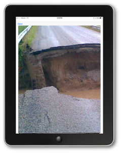
Road and Bridge Damage Assessments
Nationally, road and bridge damage make up 15% of all FEMA Public Assistance grants*. With Crisis Track, your roads department can quickly inspect and report road, bridge, or culvert damage resulting from the incident.
*FEMA Public Assistance funded project details 2009-2014.
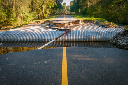
Copyright: moonborne / 123RF Stock Photo
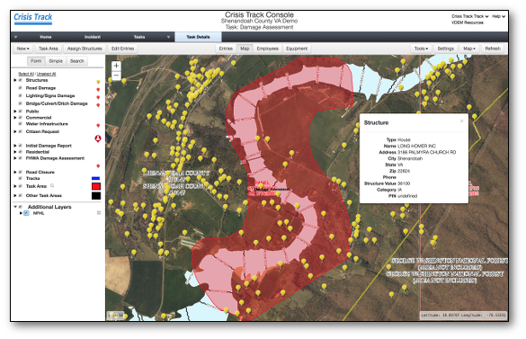
Use your bridge and culvert inventory
Crisis Track maps your bridge and culvert inventory to help you identify the infrastructure in the area of concern. Your roads teams will know where to perform inspections and can relay real-time damage assessments, road accessibility statuses, and photos to your EOC.
Work from mobile devices
When there is Internet connectivity, Crisis Track uploads the road inspections and bridge inspections with photos, which then become visible in your operations center. If Internet connectivity is not available, Crisis Track saves the information to the device and later uploads the data to servers once connectivity is available.